

GPS and Satellite Tech – Mapping the Modern World
In the soft glow of a cabin nestled beneath a starlit sky, Maya traced her finger over an ancient paper map passed down through generations. She could almost feel the inked lines guiding intrepid explorers across uncharted lands. A decade later she found herself staring at a tiny screen in her hand as a voice calmly told her to turn northeast. From centuries-old parchment to pocket-sized precision the journey of mapping humanity’s home has been nothing short of miraculous.
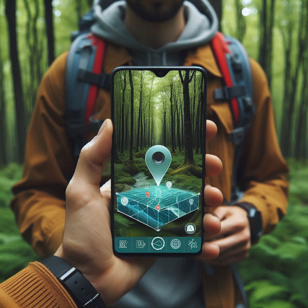
Today’s global positioning systems and satellite networks form an invisible web that connects every continent island and ocean floor. Whether you are piloting an aircraft navigating city streets or rescuing a hiker lost in dense forest these orbiting sentinels and ground stations work in harmony to pinpoint locations within meters. Let us embark on a journey through the evolution technology and impact of GPS and satellite mapping in our everyday lives.
The Evolution of Earth’s Digital Compass
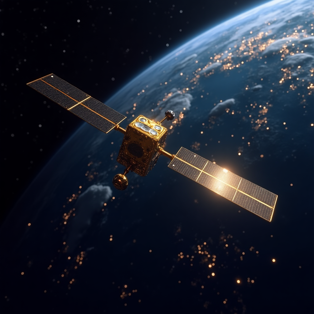
Long before satellites circled our planet cartographers crafted maps from stars coastlines and footsteps. Magnetic compasses gave navigators a hint of direction but accuracy remained limited. It was not until the late twentieth century that the United States Department of Defense launched the first Navstar satellite ushering in the age of GPS. Originally designed for military operations this constellation allowed soldiers and commanders to know their precise latitude longitude and altitude in real time.
Civilian access began in the nineteen eighties and by nineteen ninety five a full constellation of twenty four satellites offered global coverage. Soon other nations launched similar systems: Russia’s GLONASS Europe’s Galileo China’s BeiDou and India’s NavIC. Each network added resilience redundancy and regional improvements. Together they form a multiplex of signals that modern receivers weave into a dependable stream of location data.
How GPS and Satellite Tech Actually Work
At the heart of any global positioning system is the simple principle of timing. Each satellite carries an atomic clock broadcasting a signal stamped with the exact moment of transmission. A GPS receiver measures how long it takes for signals from at least four satellites to reach it and uses those time differences to calculate its three-dimensional position Earth’s curvature included.
Ground control stations scattered around the globe continually monitor satellite health adjust orbits and synchronize clocks. When signals deviate slightly these stations upload corrections to ensure pinpoint accuracy. Thanks to advancements in onboard clock stability and ground segment processing modern systems routinely achieve accuracy within a few centimetres for specialized applications and within a few meters for everyday smartphone use.
Read More: Data Duel: Why Data Analytics is the Detective and Data Science is the Inventor
Beyond Navigation: Diverse Applications
Mapping vehicles and guiding hikers represent only the tip of the iceberg. Emergency services utilize satellite positioning to dispatch help within seconds of a distress call. Precision agriculture uses geo tagging to optimize planting irrigation and harvesting raising yields while reducing waste. Surveyors map land boundaries engineers align construction projects and scientists monitor tectonic shifts movements measured in millimetres. Even in sports athletes track speed and distance to refine training regimens.
Urban planners leverage satellite imagery combined with GPS traces from mobile devices to analyse traffic patterns public transit usage and pedestrian flows. This data assists in designing smarter cities that reduce congestion lower pollution and improve quality of life. In the skies air traffic controllers rely on satellite based augmentation systems to maintain safe separation between aircraft especially during low visibility. Maritime operators navigate busy shipping lanes with electronic charts updated in real time.
Innovations Shaping the Future of Mapping
The convergence of satellite networks and complementary technologies promises even greater precision and resilience. Multi frequency receivers simultaneously track signals from different bands minimising atmospheric interference. Real time kinematic corrections enable sub cent-imetre accuracy supporting autonomous vehicles and drone deliveries. Low Earth orbit satellite constellations aim to deliver real time high resolution imagery and global internet connectivity bridging the digital divide.
Onboard artificial intelligence and edge computing could one day allow satellites to process data in orbit sending only essential insights back to Earth. This would accelerate disaster response monitoring wildfires floods and deforestation. Quantum clocks under development may further refine timing precision enhancing navigation even in dense urban canyons or deep indoors. As these innovations mature our digital maps will become richer more interactive and universally accessible.
Read More: Why AI Might Be the Beginning of the End for Google Search
Frequently Asked Questions
How accurate is modern GPS navigation?
Everyday smartphone GPS offers location accuracy within three to ten meters. Professional survey equipment using correction networks can achieve precision better than one centimeter.
Can GPS work anywhere on Earth?
Global constellations ensure coverage from pole to pole. In very dense forests deep indoors or inside tunnels signals may weaken but augmentation services and complementary sensors help maintain positioning.
What is the difference between GPS and Galileo?
GPS is the American system Galileo is Europe’s civilian satellite navigation network. Both provide similar services but differ in frequencies encryption schemes and governance structures. Using signals from both improves robustness.
How do satellites stay in orbit?
Satellites travel at high speeds balanced by Earth’s gravitational pull. Occasional small thruster burns correct orbital drift maintaining precise positions required for consistent signal timing.
What are the environmental impacts of satellite constellations?
Concerns include space debris collisions and light pollution affecting astronomy. Agencies and private firms now follow guidelines for satellite end-of-life disposal and lower reflectivity designs minimize impact on night sky observations.
Conclusion
From a solitary map in a candlelit cabin to a global network of orbiting satellites our ability to chart the Earth has transformed profoundly. GPS and satellite technology now underpin critical infrastructure commerce science and recreation. As constellations grow more sophisticated and new innovations emerge our relationship with the world around us will deepen providing richer insights into everything from climate patterns to human mobility. In this age of digital cartography every signal from above guides us toward safer smarter and more connected lives.


Pingback: Can AI take your order? - Latest AI/Tech Info